

Why city races feel windier (or quieter) than the forecast suggests.
· Wind
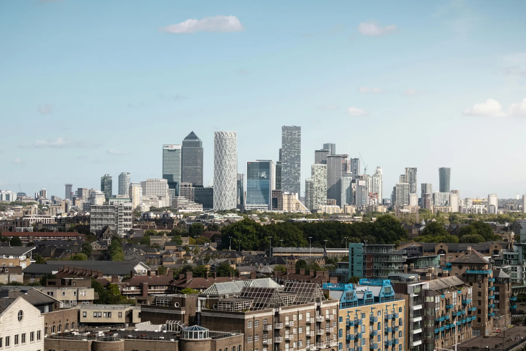
If you've ever run a race in a big city on a windy day, you might have noticed that your experience did not quite match up with the expected forecast. Wind in cities is complicated and notoriously difficult to predict. It can be blocked by tall buildings, channelled down streets and accelerated around corners. There can be unexpected sudden gusts, or perhaps a notable absence of any wind at all. So how on earth are you supposed to prepare for these conditions?
It's not that the forecast has necessarily got it wrong. The wind experienced at street level can be very different to the wind predicted for the wider area as the wind interacts with buildings and the urban environment.
Why cities change the wind
Most weather forecasts describe wind at a much bigger scale than the individual streets of a city. The forecast might say that wind is 10mph from the west, but this is almost certainly not what you will experience across the whole course.
Once the wind encounters an obstacle, such as a building, it will behave differently. The wind can be slowed down, sped up, redirected or made more turbulent, depending on what is in its path. Factor in thousands of different shaped buildings, surface types and irregular gusts of wind, and the picture becomes one of incredible complexity.
However, there are three main effects that are particularly notable for runners:
- Buildings can create shelter. Air is forced around buildings, creating areas of reduced wind on the downwind side. This can cause some streets to feel surprisingly calm.
- Streets can channel the wind. If a street is aligned with the prevailing wind and surrounded by buildings, the airflow can be concentrated along the street. This can result in a stronger headwind than expected.
- Buildings create turbulence. As air moves around corners or over buildings, the flow becomes less smooth. This can produce unexpected gusts or changes of direction, particularly around gaps between buildings or when turning sharp corners.
Cities can also affect the temperature of the air. Roads and buildings absorb and store heat, resulting in what is known as the urban heat island effect. This heating will then change the way the air moves close to the ground and influences local heat patterns. This is most notable during heatwaves, such as those experienced widely across Europe in summer 2026.
A clear public example is meteoblue's urban wind map for Zurich: street-scale wind fields that show how the same synoptic day can feel very different from block to block. Their Urban Maps / City Climate work is a useful reference for how city geometry reshapes near-surface wind. It is also a good illustration of the complexity of modelling in urban environments.
What that means for your race
All of this matters, because minor fluctuations in wind speed and direction throughout a city will affect the effort required to maintain a pace. An urban course can move between relatively easier and harder sections over very small distances. This is further exacerbated by the fact that city routes tend to have many changes of direction across the course. It is not possible to react to every single gust, however it is important to understand where the windiest sections of the course are likely to be, and to be ready to adapt.
Shortly before the race, use MeteoPace to help you identify long, exposed sections, or sections where you are likely to encounter a headwind. When you do experience a headwind, focus on effort, not on pace. Consider drafting behind other runners of a similar pace. This can reduce the aerodynamic cost, meaning that you don't have to slow down as much.
MeteoPace captures the key features of urban layout that change the wind: shelter behind buildings, streets that channel it, open stretches that expose you. A downtown mile does not get the same wind as an open field. That is the point.
The goal is not perfection. City wind cannot be modelled street by street, and we are not promising a gust on every corner. What we care about is the pacing direction: where the wind is likely to cost you, and where it is quieter. Broadly right is the aim. A map that looks precise and is wrong is worse.
Find the course and conditions for your race, or read when drafting helps, and when it can hurt.